The Regional Map That Makes Every Border Look Fixed
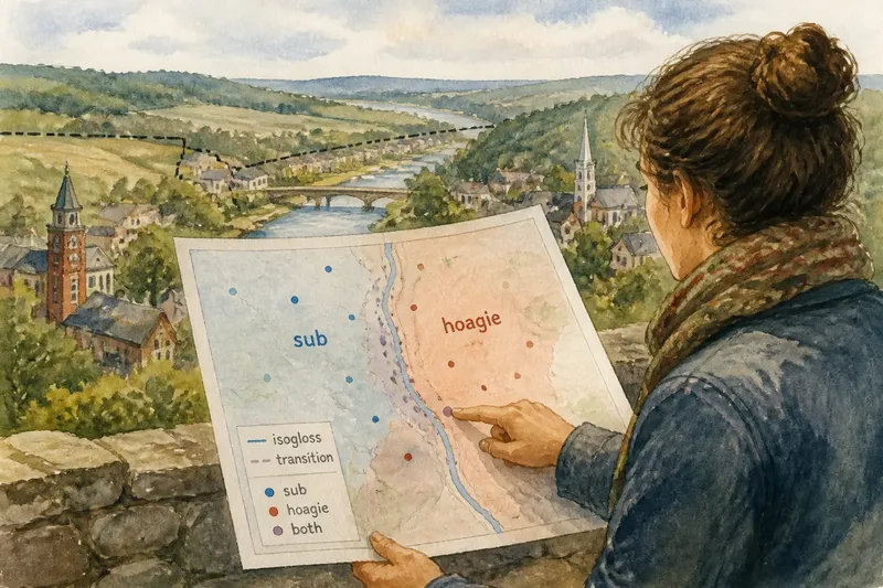
Regional map reading gets clearer when you trace how a border shapes local identity, movement, and place names instead of treating it as a permanent edge.
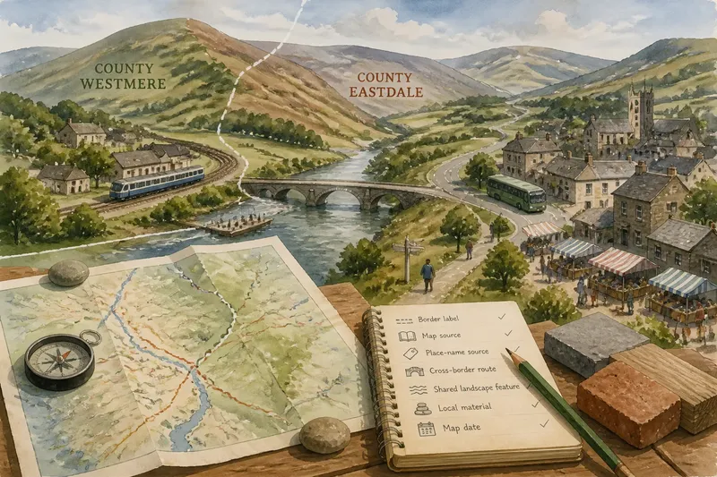
A town can sit on one side of a county line and still share a market, a bus route, and a local identity with places across it. Regional map reading works better when you ask how a border shapes connections and names, not just which side contains a dot.
How does a border shape a region’s identity?
A border can divide responsibilities without dividing everyday life. Residents may travel across it for work, shopping, school, worship, or family visits. A map shows a chosen edge; it does not show every relationship that crosses it.
Look at the map’s labels and what they emphasize. A county map foregrounds jurisdictions. A map of a historic region may preserve an older identity. A transport map can make a corridor feel more connected than nearby areas beyond the route. Each view directs attention toward some ties and away from others.
When describing a place, name the relationship rather than treating the border as a complete account: “The village lies in the county, while its regular market connections extend into the neighboring valley.” This distinguishes location from regional belonging.
What can place names reveal about borders?
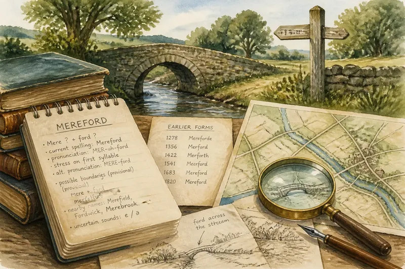
Place names often carry traces of older affiliations, languages, industries, or landscape features. A name may persist after an administrative boundary changes, or a modern district may adopt a label associated with a broader cultural area. The name is evidence of how a place has been described, not proof that everyone uses it in the same way.
Compare the map label with local signage, municipal materials, and names used by nearby institutions. Check whether a name refers to a settlement, a landscape, a service area, or a promotional region. Keep the source attached to the name when you write about it.
Say you are preparing a walking guide for a fictional town called Alderford. A heritage map labels the surrounding hills “North Mere,” while the town council calls the area the “Alderford uplands.” You could preserve both labels, explaining that one comes from the heritage map and the other from council usage. Readers then see a difference in naming without being told that one label cancels the other.
How do roads, rivers, and materials complicate a map edge?
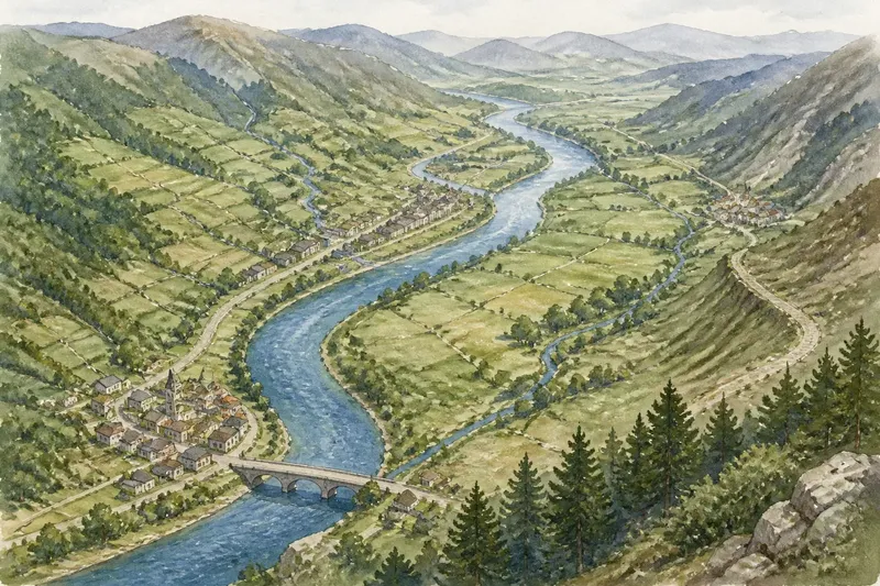
Physical features can connect places as readily as they separate them. A river may be a boundary in one context and a shared route or water source in another. A mountain pass can link settlements that a straight administrative line divides. Roads, ferry crossings, rail stations, and footpaths also shape which neighboring places feel close in practice.
Local materials add another layer. Stone, timber, clay, or other resources may be quarried, traded, and used across a boundary. Buildings on both sides can share construction traditions even when they fall under different authorities. A regional map that focuses only on borders can hide those material connections.
For a grounded description, pair the line with a feature or connection: note the river crossing, the market road, or the source of a building material. Do not infer a shared identity from a resource alone; describe the connection and identify the evidence behind it.
How can you read a regional map through local connections?
Use this set of checks to move from a drawn border to a more complete account. For each observation, make the decision that fits the map and your purpose.
- Border label: Check whether the line names a county, district, or other authority. If it does, use it for that jurisdictional question; if it does not, describe the line as an interpreted or illustrative edge.
- Map title and source: Check whether the map is about transport, history, identity, or administration. If its purpose matches your question, use it within that scope; if not, find a map made for the question you need to answer.
- Place-name source: Check who uses the label and what area it names. If sources apply the name consistently to the same feature, report that usage; if they differ, identify each source’s wording.
- Cross-border route: Check whether a road, ferry, transit line, or path links places on both sides. If the route supports the connection you are describing, mention it; if it is absent or unclear, avoid claiming that the map demonstrates regular movement.
- Shared landscape feature: Check whether a river, valley, ridge, or pass crosses or follows the border. If it does, describe the feature’s relationship to the line; if it does not, do not suggest that the boundary follows the landform.
- Local material: Check whether the map or a reliable local source identifies a material used across the area. If the connection is documented, explain its geographic reach; if not, leave the material out rather than infer a regional tradition.
- Map date: Check the date against the period you are describing. If they align, state the date or period; if they do not, find a source appropriate to the time in question.
What questions help explain a regional map’s borders?
Can a border divide administration but not local identity?
Yes. Jurisdiction and identity describe different relationships to place. Explain which one the map shows, then mention cross-border ties only when you can point to specific routes, institutions, names, or shared landscape features.
Does a place name prove where a region begins?
No. A name shows how a source labels a place, and usage may vary between residents, agencies, and historical accounts. Attribute the name and clarify whether it refers to a settlement, a landscape, or a broader region.
Can a river or mountain range connect places on both sides?
It can, depending on how people use the feature. A crossing, pass, shared resource, or route may link communities, while the same feature can also mark an edge; describe the observed relationship rather than assuming one.
What should I do when local sources use different regional labels?
Keep the labels and identify who uses each one. If the difference matters to your account, explain whether the sources refer to different areas or use distinct names for overlapping places.
How can you describe a border without making it the whole story?
State what the map places where, then add a concrete connection that matters to the subject. For example, distinguish a town’s administrative location from the road, river crossing, market, or place-name tradition that links it with nearby communities. Attribute each claim to its source.
Regional map reading becomes more precise when you treat a border as one part of a place’s geography rather than its complete identity. Keep the named authority, local label, and relevant connection in view; if the map cannot establish a relationship, say what remains unclear instead of filling the gap with an assumption.