How to Tell a Dialect Boundary From an Administrative Line
Learn how to tell a dialect boundary from an administrative line by tracing the mapped speech feature and seeing whether local usage crosses the drawn edge.
A dialect boundary can run through a town while its county line stays fixed outside it. To tell a dialect boundary from an administrative line, look at what the map records: patterns in speech or the jurisdiction assigned to a place.
What does each kind of line describe?
An administrative line separates areas managed under different rules or by different authorities. It may mark a town, school district, election area, or service territory. Addresses on either side can fall under different offices even when residents share the same speech and local ties.
A dialect boundary summarizes where a language feature changes or becomes more common. The feature might be a vowel sound, a word, or a grammatical form. It does not assign residents to an authority, and one feature’s boundary need not match another’s.
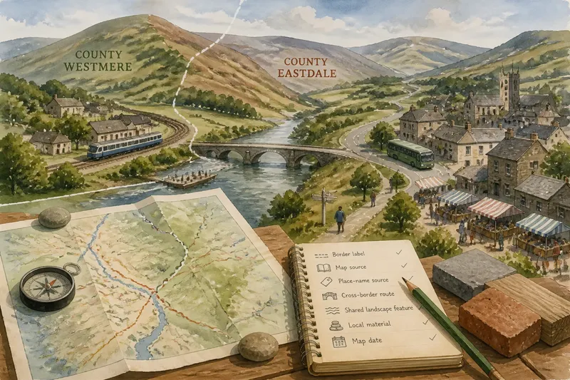
Some maps use county or state outlines as a backdrop for speech data. Read the line styles and labels separately: a boundary shown for orientation is not necessarily the map’s subject.
How can you read the evidence on a dialect map?
Start with the title and legend, then find the map’s notes. A useful speech map identifies the feature being mapped and gives some account of its source and coverage. A broad label such as “dialect region” may combine several patterns; a named feature is more precise.
Check whether the map represents interviews, recorded speech, written material, or another source. Notice which places are included and when the material was collected. A line drawn between a small number of locations is an interpretation of the evidence, not a record of every speaker along its length.
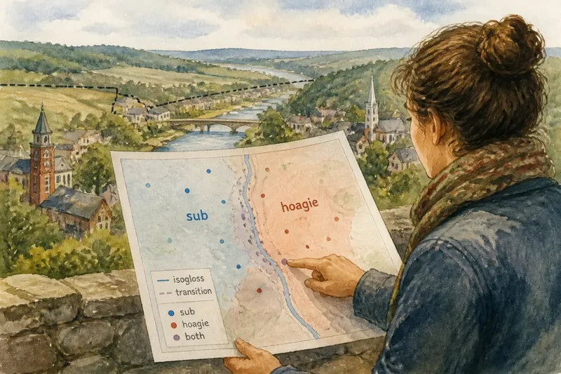
Look for shaded transition areas, competing lines, or notes that call a boundary approximate. Speech patterns can overlap, and speakers near a transition may use forms associated with both sides. A crisp stroke can make a complicated pattern easier to see without making the change abrupt.
When should you treat a line as an official boundary?
For an administrative line, identify the authority responsible for the area and the purpose of the boundary. A county edge, school catchment, and emergency service area may all divide the same neighborhood differently. If the map matters for a practical decision, check the relevant government or service provider’s current map rather than relying on a general reference map.
A dialect line has no equivalent jurisdictional authority. Researchers can draw different boundaries because they map different features, use different locations, or group variation differently. Treat the line as a description of language evidence, not as an official border around a uniform way of speaking.
How do dialect boundaries relate to local places?
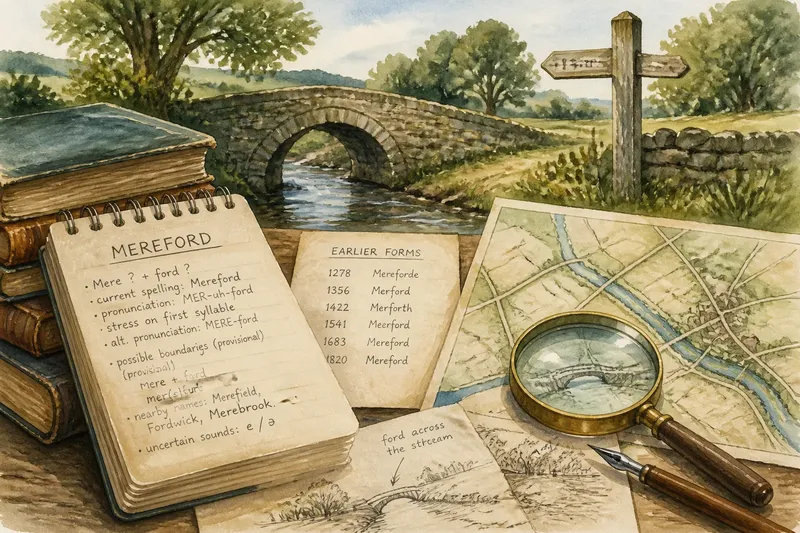
Town names and regional identities help you locate a line, but they do not establish where speech changes. A familiar place name can cover varied speech, and a language feature can cross a county edge. Compare the map with local place names as reference points, then return to the mapped evidence before making a claim about a community.
Imagine a map marks the word “sub” in several towns west of a river and “hoagie” in several towns east of it, while one sampled town near the river uses both. The map’s observations are those recorded locations and terms; the line between them is an interpretation. A careful reading would describe the two-word pattern and the mixed town, rather than claiming that the river cleanly separates everyone’s speech.
What questions help distinguish the two lines?
What does “isogloss” mean on a dialect map?
An isogloss marks the approximate distribution of one language feature, such as a pronunciation or word. Several isoglosses can fall in different places, so one does not define every feature of a dialect.
Can a dialect boundary follow a county line?
Yes, the lines may coincide, but that does not make them equivalent. Check whether speech observations support the dialect line and whether the county edge is only included as map context.
Why do two dialect maps show different boundaries?
They may map different features, draw on different locations, or group variation differently. Compare their legends and source notes to see what each line actually represents.
Does a dialect boundary mean everyone on each side speaks differently?
No. The line summarizes a pattern, while individual speech can vary with family, setting, and personal history. Variation may be especially visible near a mapped transition.
What should you check before describing a line?
- Check the map title: if it names a jurisdiction, treat the line as an administrative candidate; if it names a speech feature, read it as language evidence.
- Check the legend’s line styles: if a line is labeled as a county or service boundary, identify the responsible authority; if it is labeled as an isogloss, look for the mapped feature.
- Check the source notes: if they name locations and collection methods, describe the evidence within that coverage; if they are absent, avoid claiming the line precisely represents local speech.
- Check the date: if the map is old and the decision concerns a current jurisdiction, consult the responsible office; if you are discussing speech, state the date so readers know when the evidence applies.
- Check for shading or multiple lines: if the map shows a transition zone, describe variation across an area; if it draws one sharp stroke without explanation, call the placement approximate.
- Check how the line meets named places: if it crosses a town, look for evidence from more than one location before describing the town as linguistically uniform; if evidence is sparse, describe only the mapped pattern.
How should you describe a dialect boundary or administrative line?
Name what the map supports: an official jurisdiction, a particular speech feature, or a broad regional grouping. For a dialect boundary, include the feature and the limits of the evidence. For an administrative line, name the authority and the area it governs. That wording keeps a drawn edge from being mistaken for a complete account of local identity.